A Digital Solution to a Physical Barrier
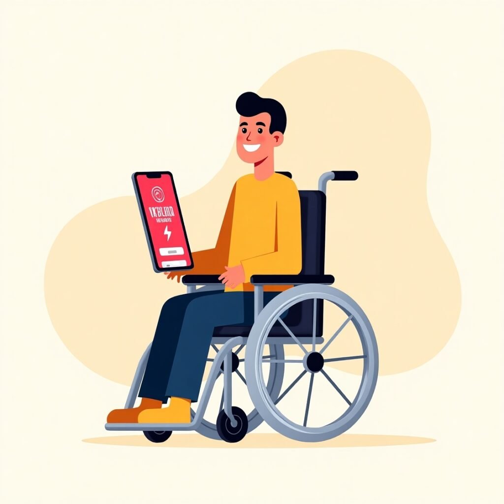
For millions of people using wheelchairs around the globe, moving through cities and navigating public spaces often presents a daunting set of challenges. While modern infrastructure has made strides in becoming more inclusive, accessible environments are still far from the norm. Enter Wheelmap: a groundbreaking, community-driven application that empowers users to find, rate, and share accessibility information for public places in real-time.
Launched in 2010 by the German nonprofit Sozialhelden e.V., Wheelmap has rapidly become a global movement for mapping accessibility, allowing wheelchair users to reclaim autonomy and freedom of movement—one pin at a time.
What Is Wheelmap and How Does It Work?
Wheelmap is a free mobile and web-based application that leverages OpenStreetMap to allow users to view and contribute information about the wheelchair accessibility of public spaces. Whether it’s a cafe, train station, museum, or public restroom, Wheelmap provides a simple color-coded system that indicates how accessible a location is:
- Green: Fully wheelchair accessible
- Yellow: Partially accessible
- Red: Not accessible
- Gray: Unknown (needs rating)
Users can filter search results, add new locations, upload photos, and leave comments to inform and guide others in the community. The app is available in more than 30 languages and used in over 180 countries.
Empowering People Through Community Mapping
One of Wheelmap’s most powerful features is its collaborative model. Like Wikipedia, its strength lies in the contributions of its users. With each new data point added, the map becomes richer and more reliable.
As cities evolve and businesses change ownership, real-time feedback is essential to keeping accessibility data accurate. Wheelmap turns every user into a potential accessibility advocate—creating an evolving, living map of inclusion.
Benefits of Community-Driven Accessibility Data:
- Reflects real-time accessibility conditions
- Highlights gaps in urban design
- Promotes awareness among business owners
- Encourages active civic participation
“Access to public spaces is not just a convenience—it’s a right. Wheelmap provides a vital tool to ensure that right is respected.”
— Raul Krauthausen, Founder of Sozialhelden e.V., quoted in The Independent (2019)
Global Reach and Real-World Impact
Despite originating in Germany, Wheelmap has taken root in communities all over the world. Thanks to its open-source design and simple interface, it has been adapted by grassroots activists, nonprofits, universities, and municipalities seeking to improve local accessibility.
From Tokyo to São Paulo, users are leveraging Wheelmap to push for change—not just in digital spaces, but in real infrastructure. As of 2024, more than 1.3 million locations have been rated for accessibility using the app.
Table 1: Top 5 Countries Using Wheelmap (as of 2024)
| Country | Number of Rated Locations |
|---|---|
| Germany | 360,000 |
| United States | 280,000 |
| Japan | 120,000 |
| Brazil | 95,000 |
| United Kingdom | 85,000 |
Using Wheelmap: A Step-by-Step Guide
Whether you’re a wheelchair user, caregiver, or simply an ally to the accessibility movement, Wheelmap is easy to use. Here’s a basic guide to getting started:
Getting Started
- Download the app from the App Store or Google Play.
- Enable location services for accurate mapping.
- Search for a type of location (e.g., “restaurant,” “library”).
- View color-coded pins representing the accessibility level.
Contributing to the Map
- Tap a gray (unrated) location.
- Select the accessibility level.
- Add a photo or comment if relevant.
- Save your entry and help others in your community.
“Crowdsourcing accessibility data gives agency back to users. Instead of waiting for governments or companies, people can make an immediate difference.”
— Emily Yates, Inclusive Design Expert, quoted in The Guardian (2020)
Real-Life Success Stories
Tokyo: Navigating the Olympics with Wheelmap
During the 2020 Paralympics (held in 2021), Wheelmap saw a dramatic increase in users in Tokyo. Tourists and residents alike relied on the app to identify accessible venues, cafes, and transport hubs—showcasing its importance during major events.
São Paulo: Students Leading Change
University students in São Paulo launched a campaign to map their entire campus with Wheelmap. Their efforts led to meaningful changes, including the installation of new ramps and accessible signage.
Berlin: Partnering with Government
Wheelmap has partnered with the Berlin city government to integrate accessibility data into official planning and tourism services—illustrating the app’s potential as a tool for public policy.
Why Accessibility Mapping Matters
Despite laws such as the Americans with Disabilities Act (ADA) in the U.S. or Lei Brasileira de Inclusão (LBI) in Brazil, enforcement of accessibility standards often falls short. That’s where community mapping fills the gap.
Wheelmap bridges the information divide by providing transparent, user-generated data that anyone can access. It’s particularly useful for:
- Wheelchair users seeking to plan their day
- Tourists with limited mobility
- Urban planners and local governments
- Disability rights advocates
Table 2: Common Public Places Rated in Wheelmap
| Place Type | Accessibility Ratings Available |
|---|---|
| Restaurants | ✔ Fully, Partially, None |
| Public Toilets | ✔ Fully, Partially, None |
| Metro Stations | ✔ Fully, Partially, None |
| Shops & Stores | ✔ Fully, Partially, None |
| Tourist Attractions | ✔ Fully, Partially, None |
Challenges and Future Improvements
While Wheelmap is a powerful tool, it’s not without limitations:
Challenges:
- Incomplete data in rural or low-tech areas
- Dependence on active community participation
- Subjectivity in rating “partial accessibility”
Upcoming Improvements:
- Integration with real-time elevator status in select cities
- AI-driven verification of photos and ratings
- Enhanced features for low-vision and blind users
- Collaboration with Google Maps for greater reach
How You Can Get Involved
No matter your level of mobility, there are many ways to support the Wheelmap initiative:
Contribute Data
- Map your neighborhood or campus.
- Upload photos of entrances and doorways.
Spread the Word
- Share the app with friends, family, and local businesses.
- Post accessibility updates on social media.
Educate & Advocate
- Use Wheelmap to start conversations about accessibility.
- Encourage your local government to adopt it in public planning.
+ IKEA Place: See Your Furniture in Augmented Reality Before You Buy
Final Thoughts: Inclusion Is a Collective Responsibility
Wheelmap is more than just an app—it’s a global accessibility movement powered by everyday people. By providing transparency, empowering communities, and challenging the status quo, it is reshaping how we think about inclusive urban spaces.
In a world increasingly dependent on digital navigation, ensuring that accessibility is part of the map is not just helpful—it’s essential. With each new pin added to Wheelmap, the world becomes a little more open, inclusive, and navigable for everyone.
References
KRAUTHAUSEN, Raul. Wheelmap: Mapping accessibility for everyone. The Independent, London, 2019. Disponível em: https://www.independent.co.uk. Acesso em: 01 jun. 2025.
YATES, Emily. Why mapping accessibility matters in modern cities. The Guardian, London, 2020. Disponível em: https://www.theguardian.com. Acesso em: 01 jun. 2025.

